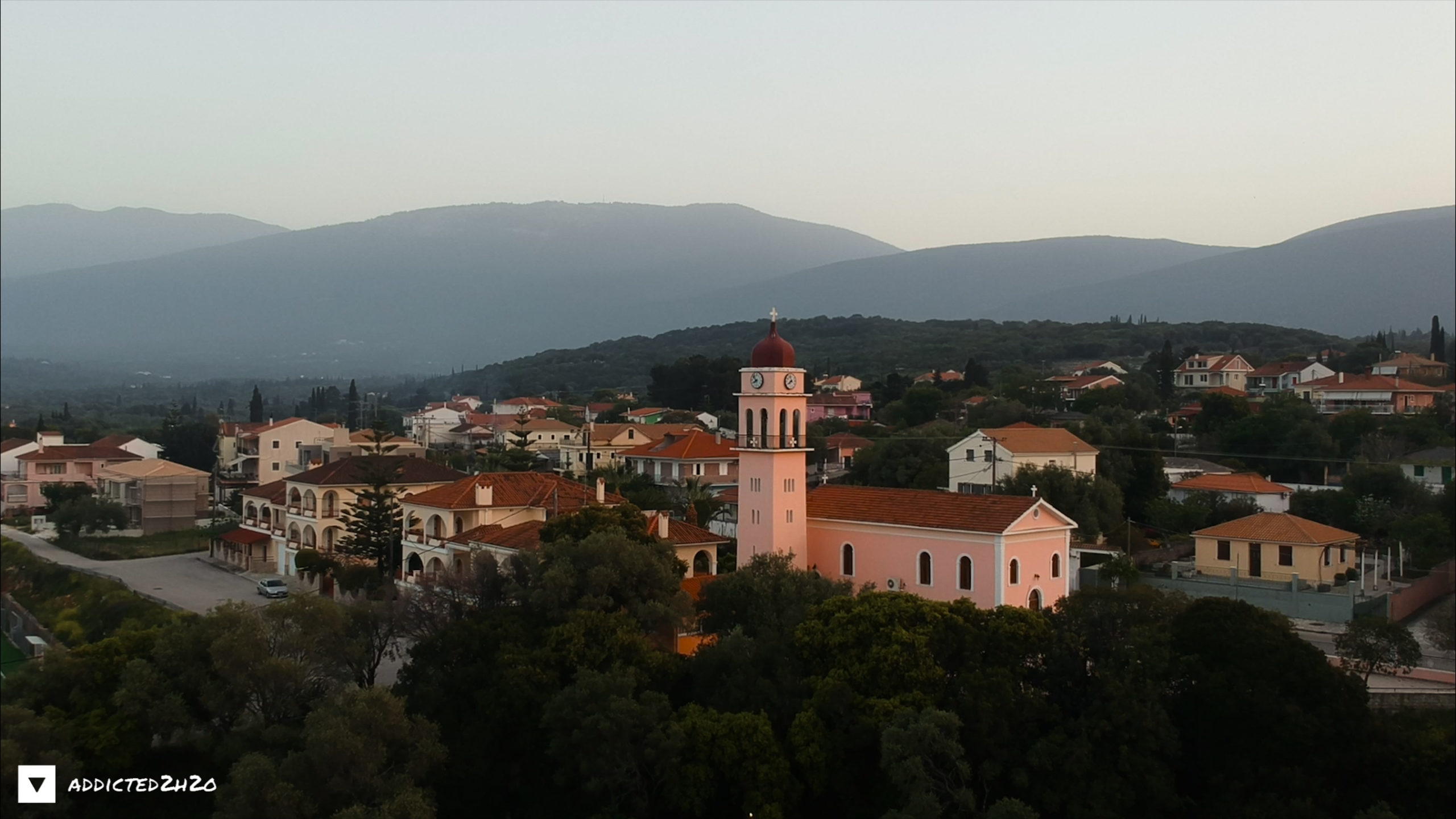
Karavomilos
Karavomilos spring constitutes a submarine brackish karstic spring of a great water supply, which is located in the homonymous village of Karavomilos, 2.5 km NW of Sami. Karavomilos village and consequently the spring got its name from a local watermill which used an iron boat wheel. However, there is a record that in the same area watermills were operating since 1890 using the brackish water that still flows. The spring presents great geological and biological interest. It constitutes one of the most important springs of the wider karst network of the area and is connected through an underground karstic system with the sinkholes of Argostoli.
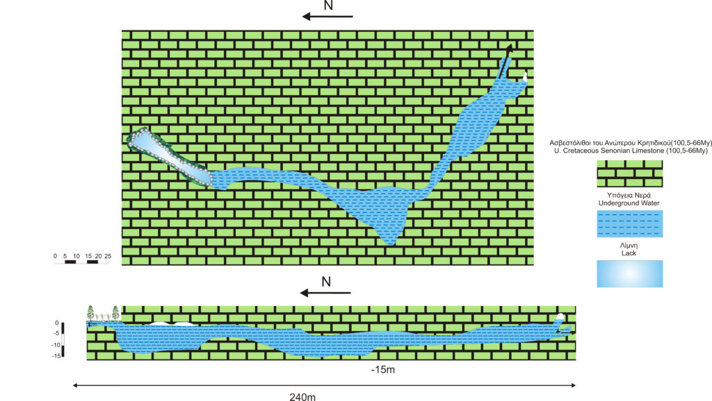
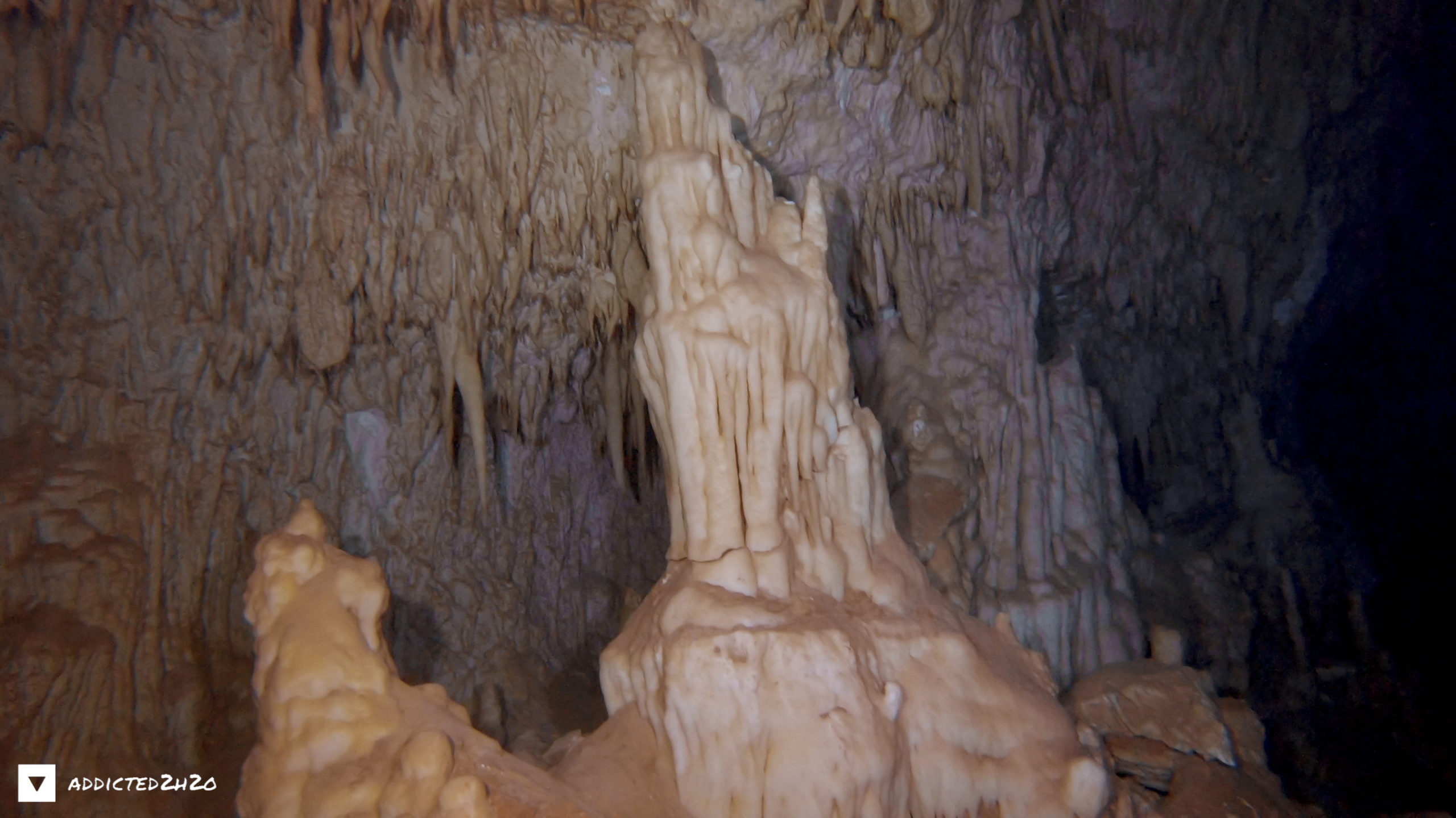
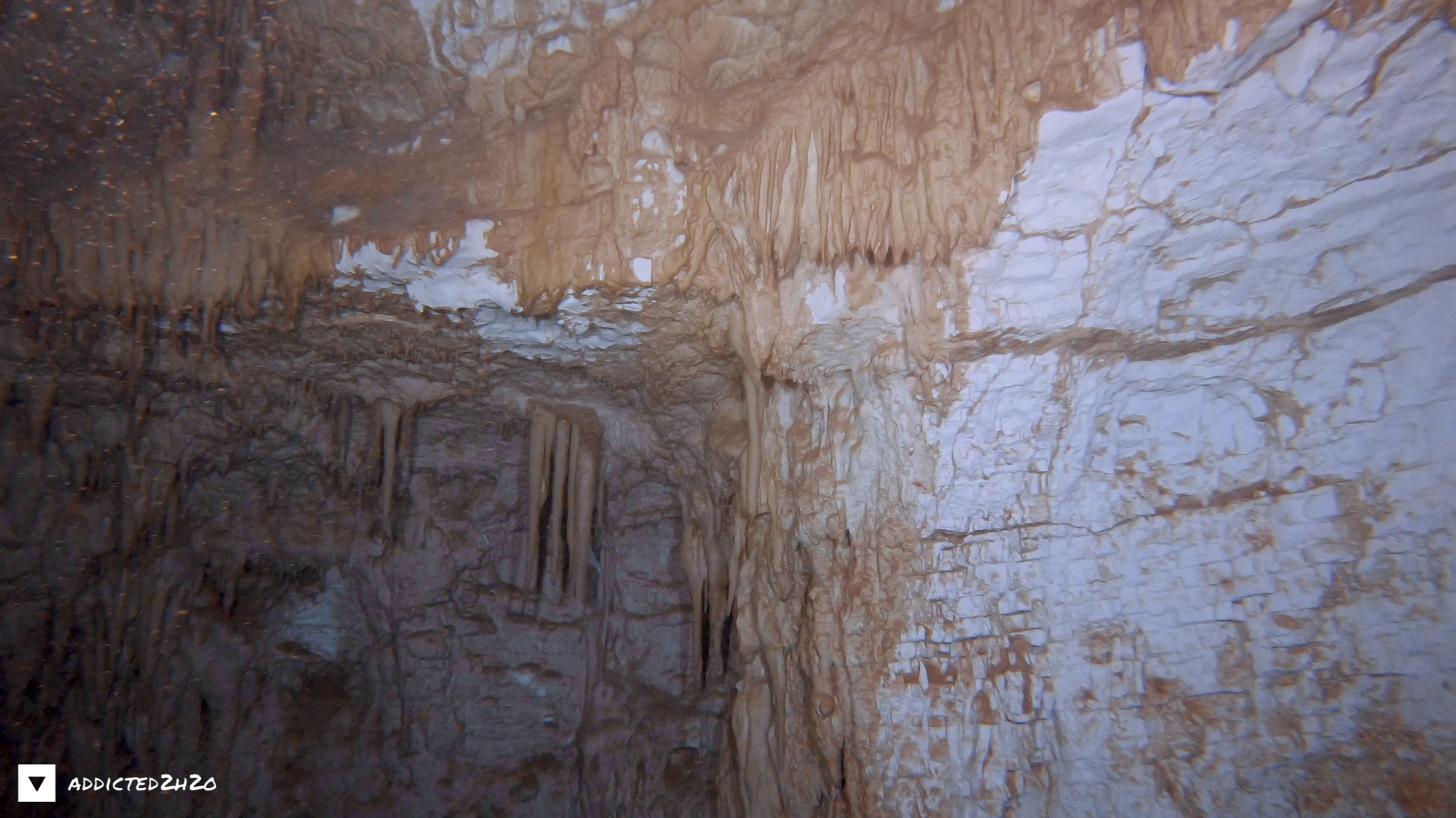
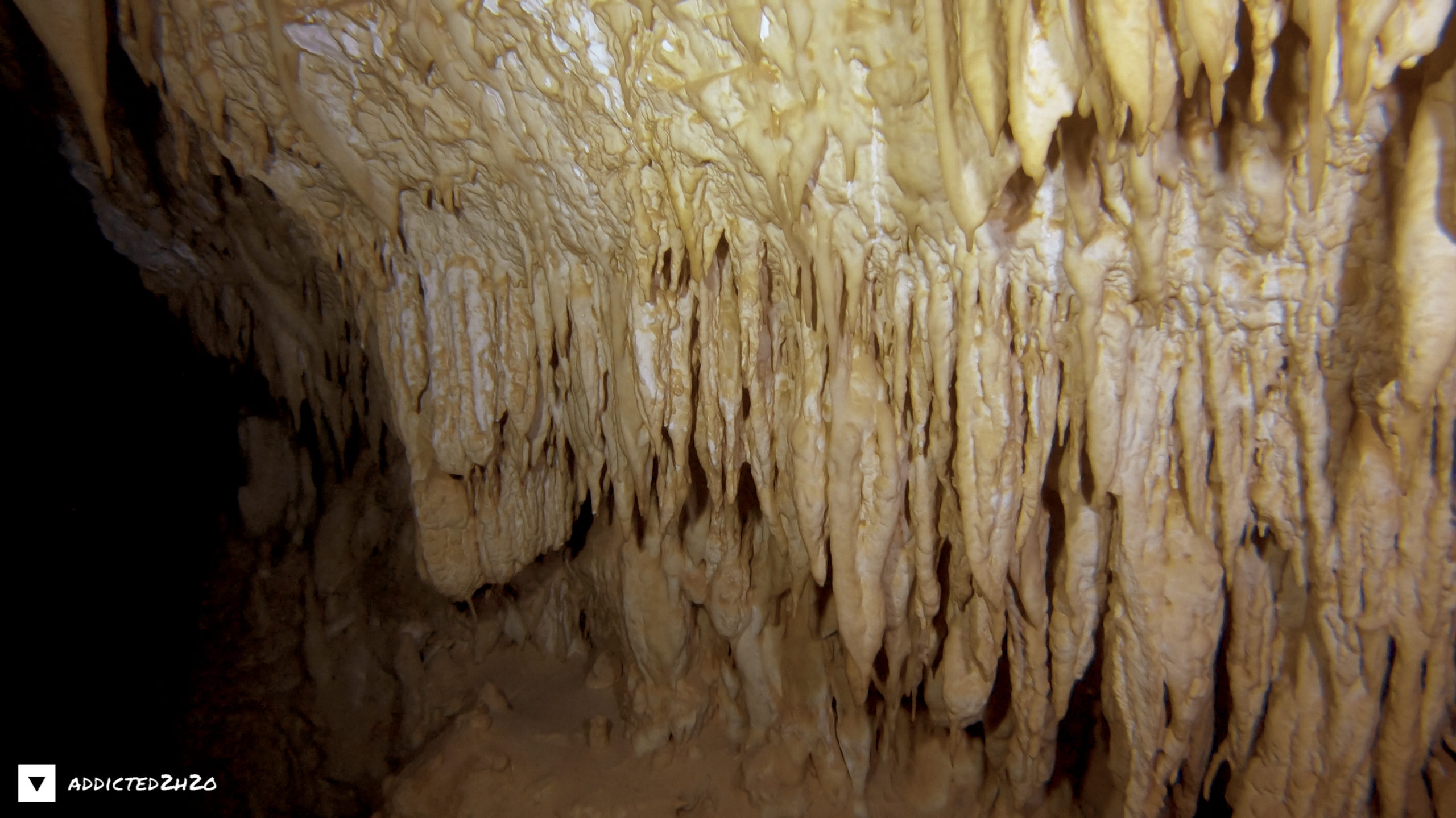
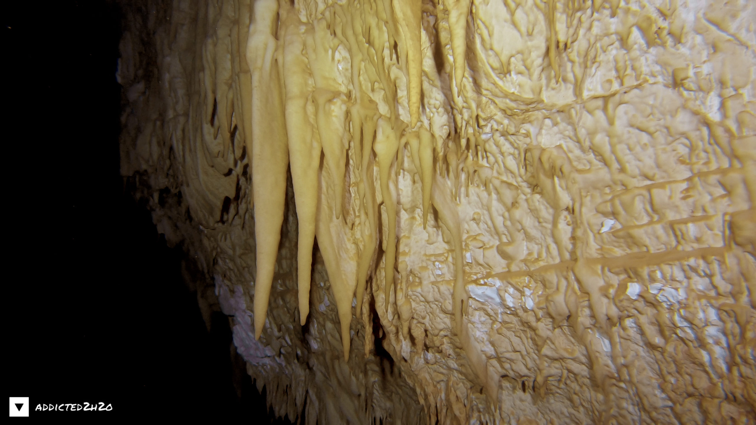
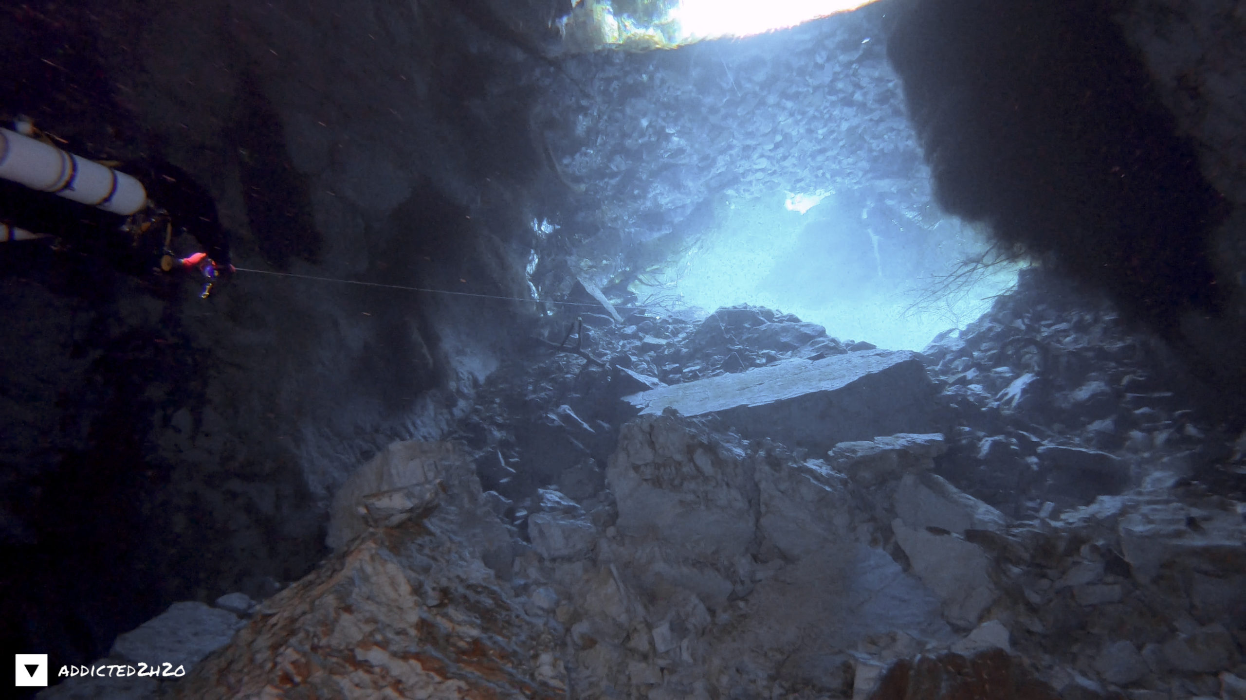
The spring was formed due to the intensive karstification that characterizes the area because of its location and its lithology. The area of Sami is located close to the thrust (big fault) of the Ionian zone on the indigenous Pre-Apulian zone. Thus, the area is characterized by intense tectonic activity. This has as a consequence the strong fragmentation of the carbonate rocks (limestones), which mainly constitute the two zones, and the creation of underground and surface forms of karstic dissolution. This spring constitutes a discharge spring of a natural karstic cavity in Upper Cretaceous(100.5-66 million years) thin bedded limestones of the Pre-Apulian zone, located 80m from the coast and isolated with a wall from the sea, forming an artificial lake. This lake is almost circular, with brackish water gushing from its bottom and outflowing in the neighboring sea, in the bay of Sami. The diameter of the lake is 50m, its depth is about 1m and its bottom is covered by algae and mud.
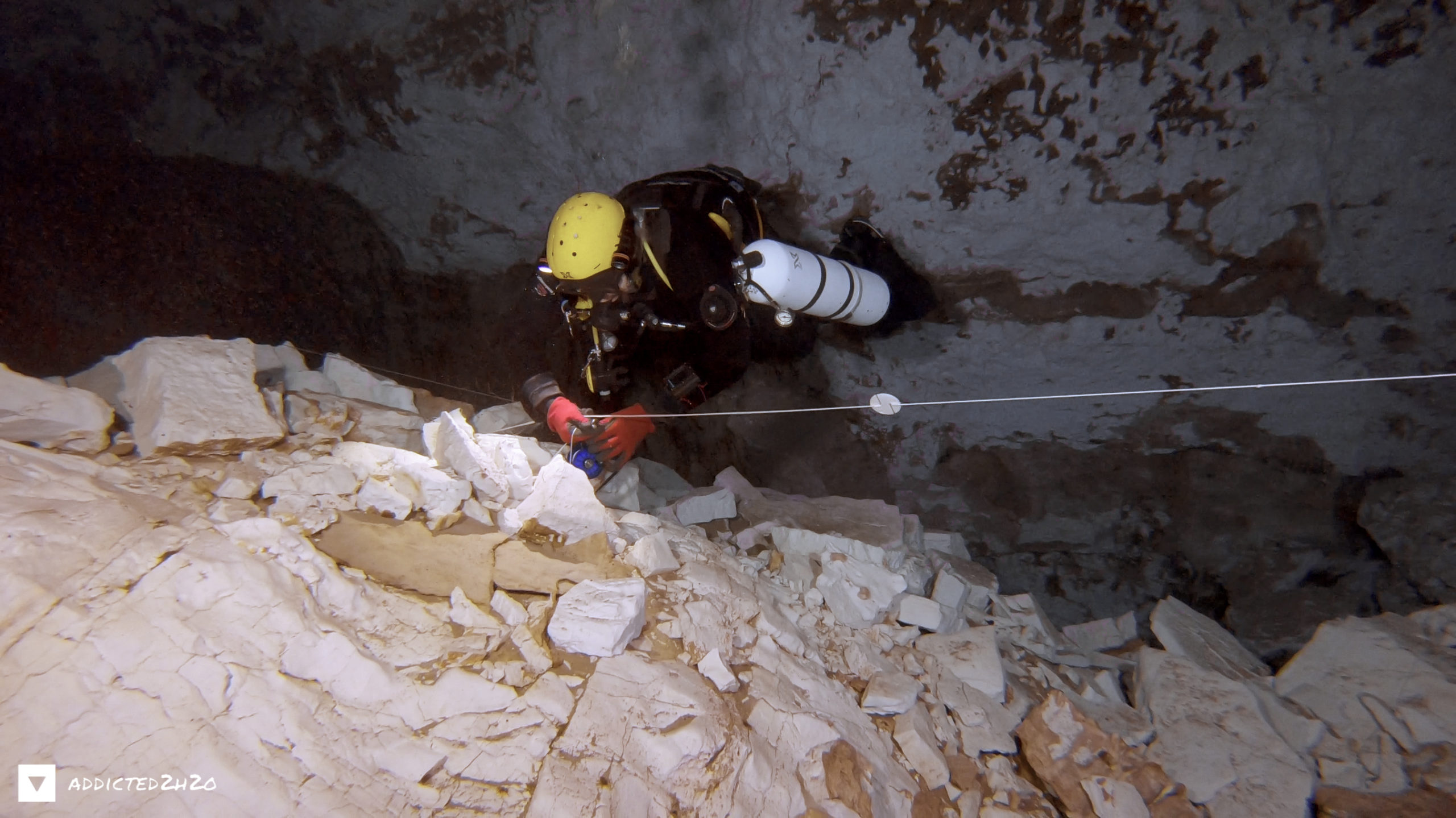
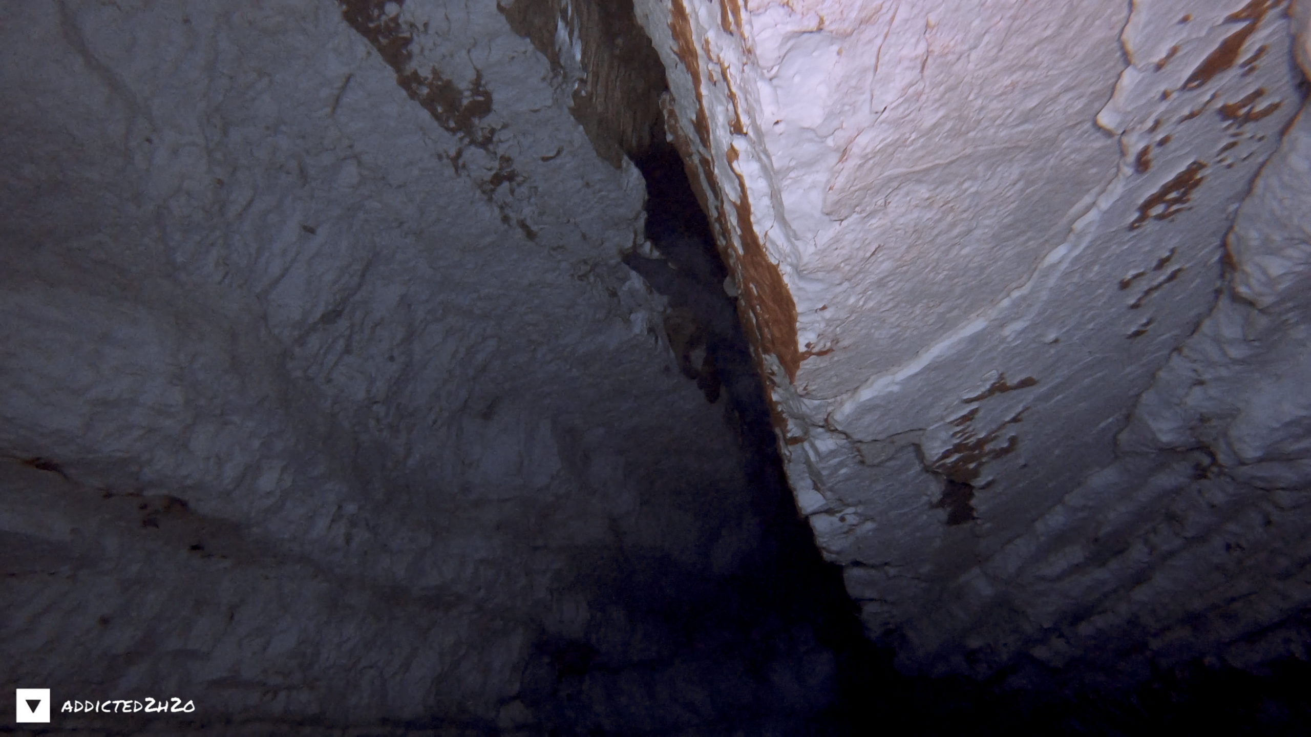
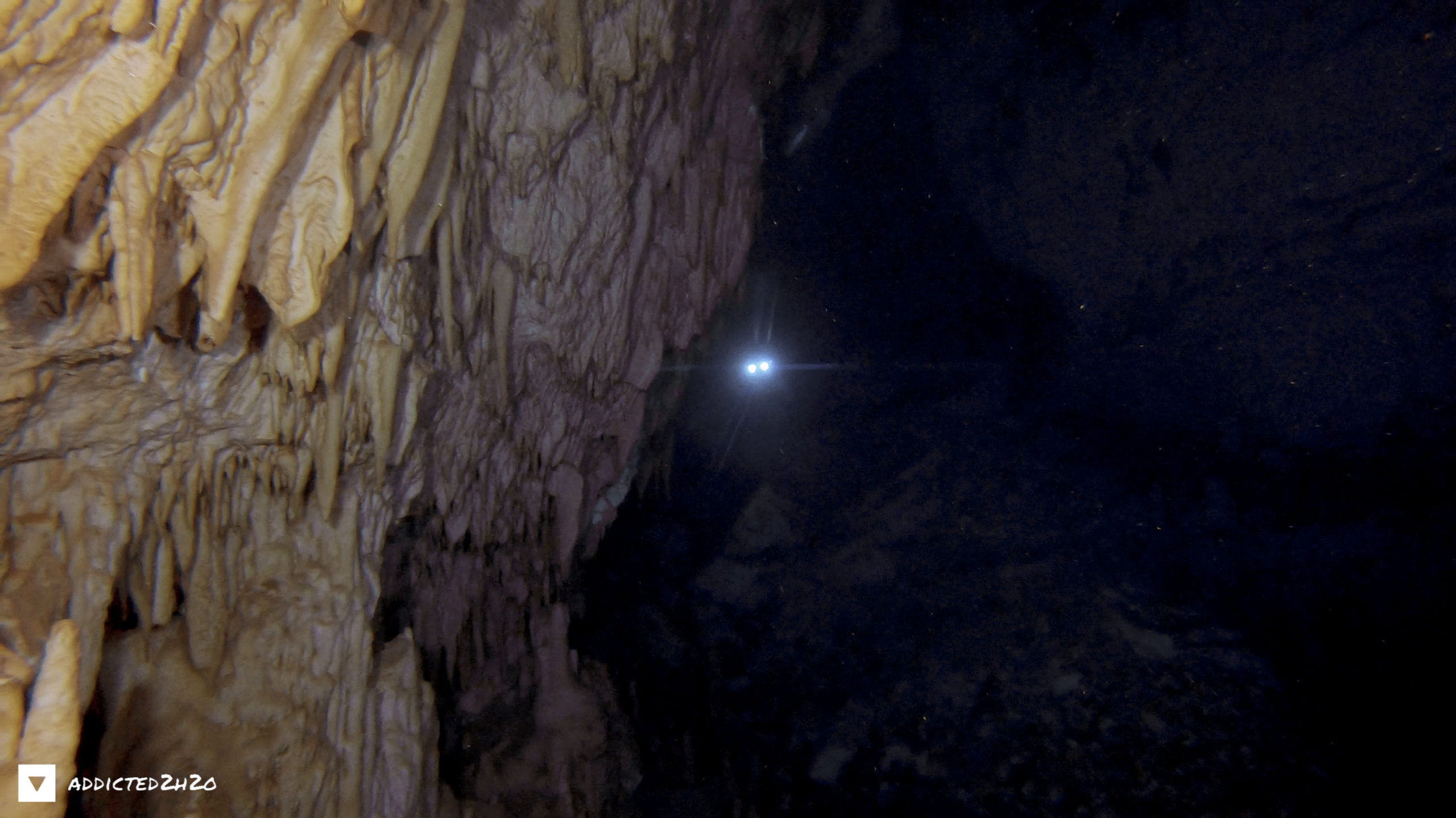
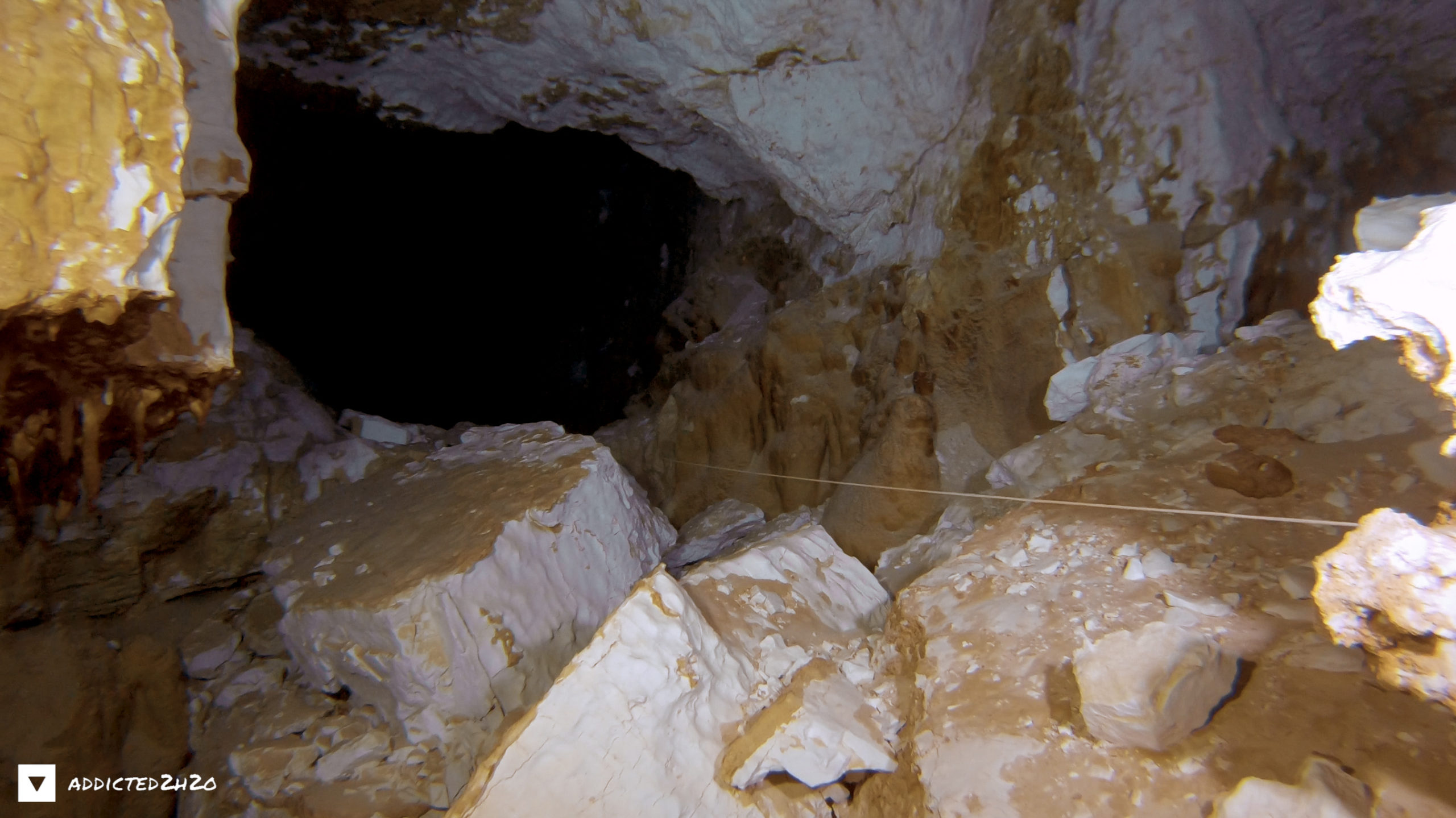
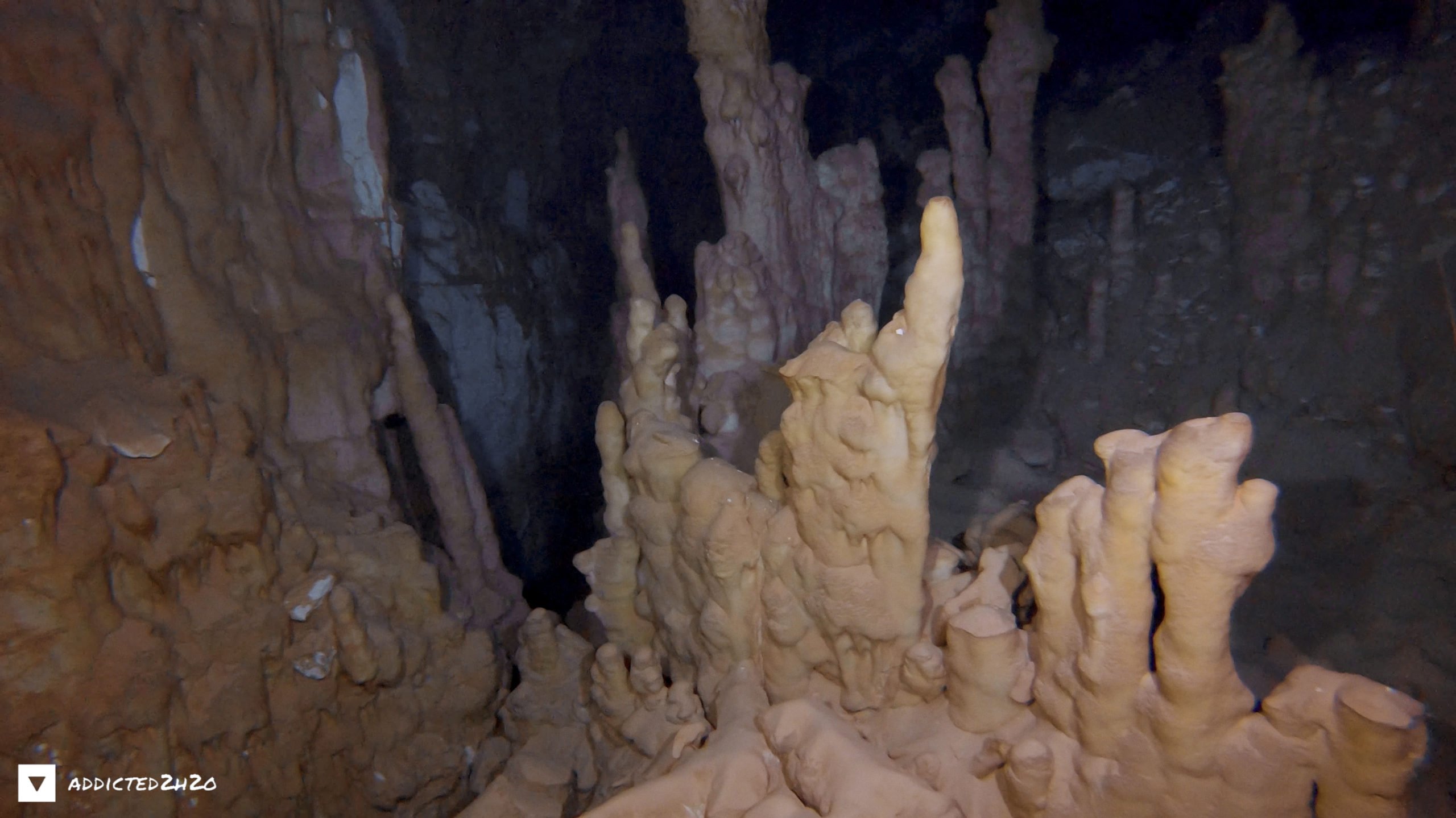
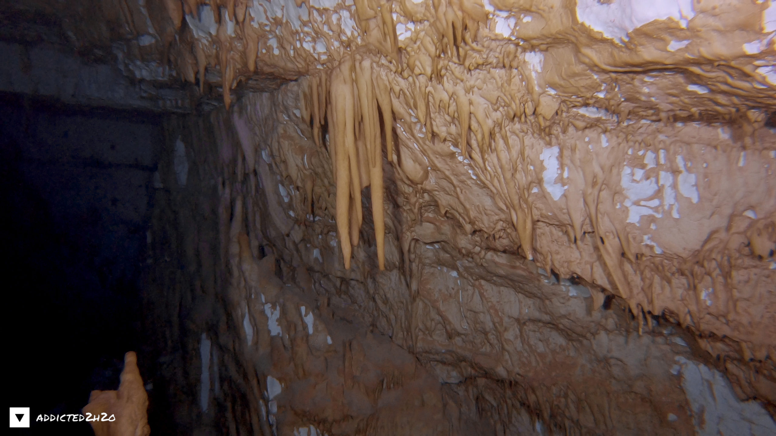
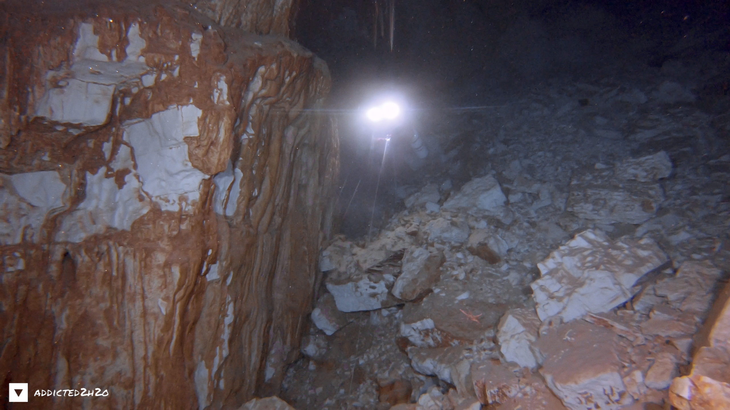
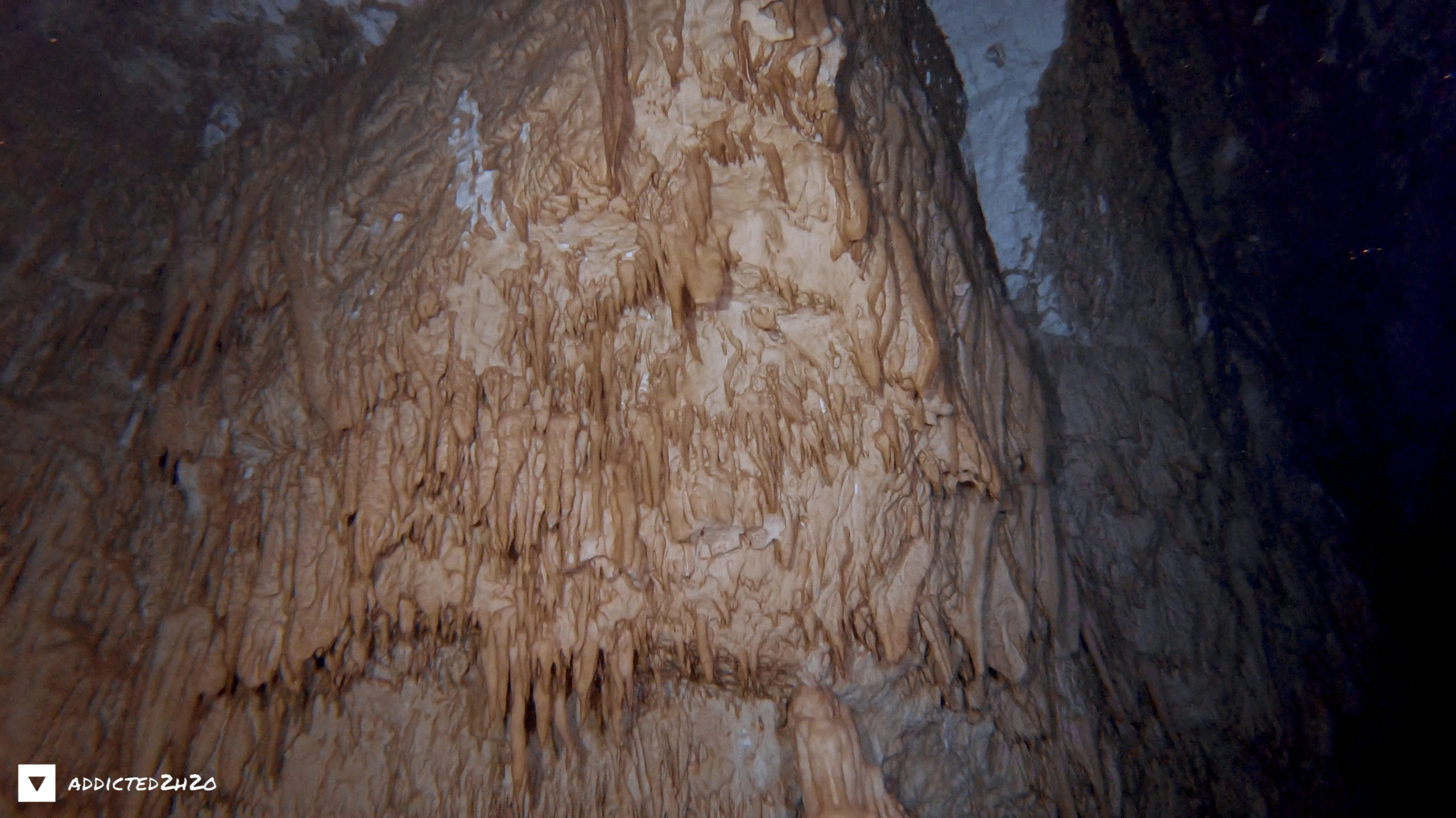
After cave diving exploration, a siphon was discovered which starts from the west bank of the lake where the depth reaches 3m. Specifically, the cavity continues as a 260m long siphon, with a maximum depth of 15m and an average depth of 7m. 20m from the entrance two small side caves are found, while 130m from the entrance, the siphon expands and it forms a spacious chamber. 70 m further a second chamber develops, which ends to the right into a small cavity with aerial exposure while on the left another small chamber is found. On the floor rockfalls and stalactite fragments can be observed, which towards the end of the siphon do not allow further the passage. The continuity of the siphon connects Karavomilos with the rest of the karstic network of the area.
The connection of Argostoli Sinkholes with Karavomilos springs was certified by Maurin & Zötl in 1963, after pouring uranium dye in the Sinkholes, which was detected 14 days later in the Karavomilos springs. Sea water continuously enters the fragmented limestone rocks at the Argostoli sinkholes with a flow speed of 3 m3/sec, flowing underground towards the eastern side of Kefalonia (Sami region) and mixes with fresh water that percolates into the carbonate rocks of Ainos Mountain. As a result, the fresh water joins with the seawater, crossing underground the island from Argostoli to Sami and gushes up as a spring of brackish water 15 Km to the east, in the wider area of the coastal zone of Karavomilos. The altitude difference between disappearance and reappearance of the water is mainly due to the mixing of salt water with fresh water.
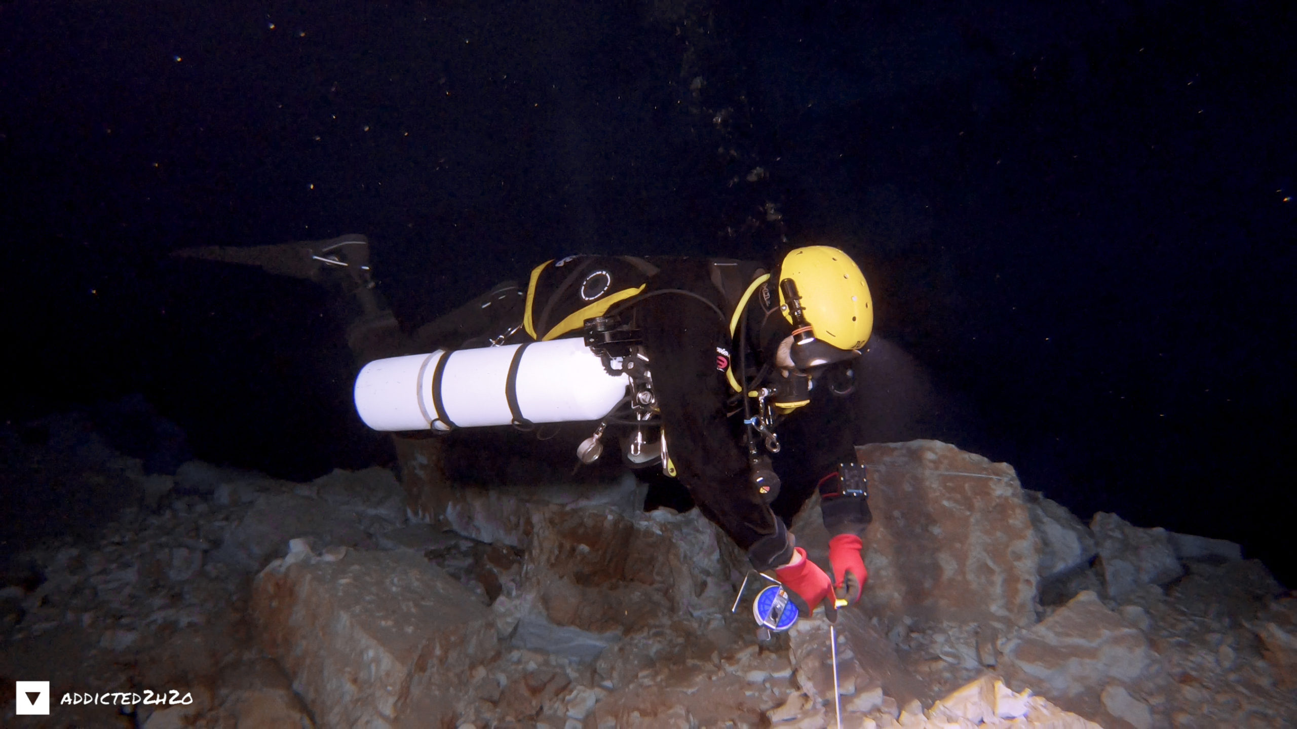
Dive Dates:
18 April 2018, 5 June 2021
Cave Divers:
Stelios Stamatakis
Erikos Kranidiotis
Source:
https://kefaloniageopark.gr/en/node/526
ADDICTED2H2O
Do what you can’t