LADONAS SPRING
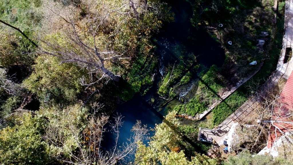
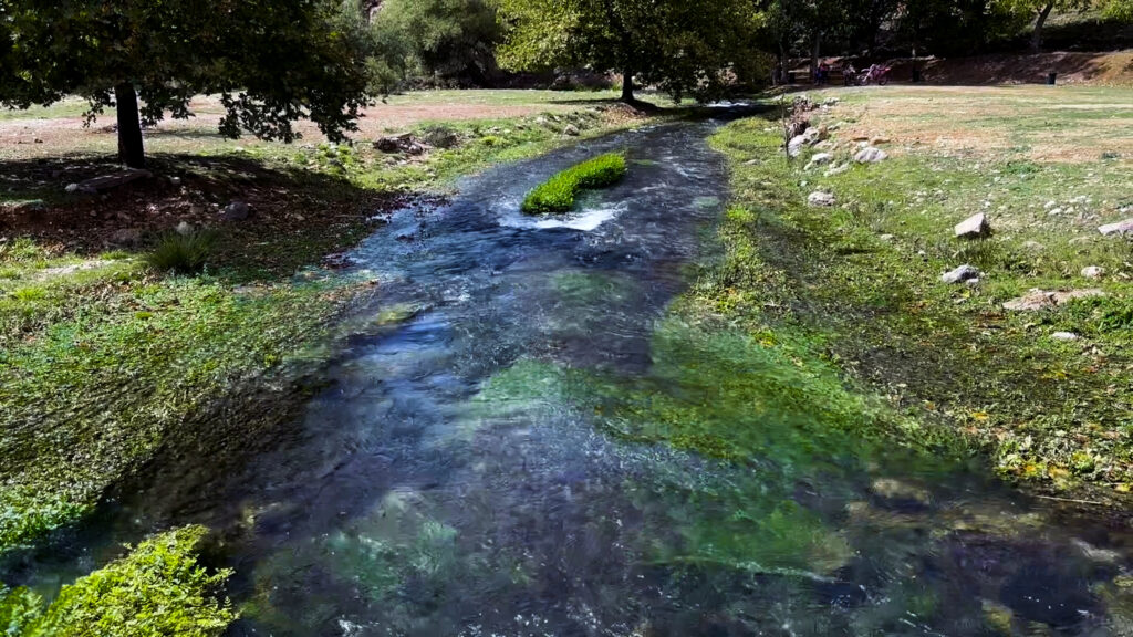
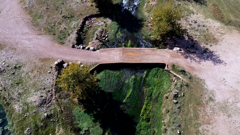
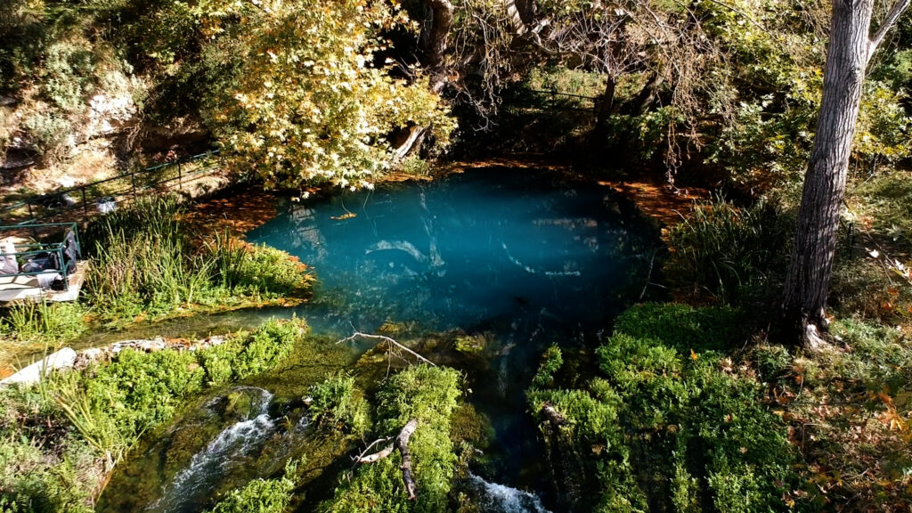
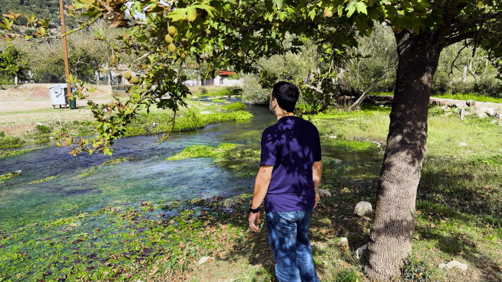
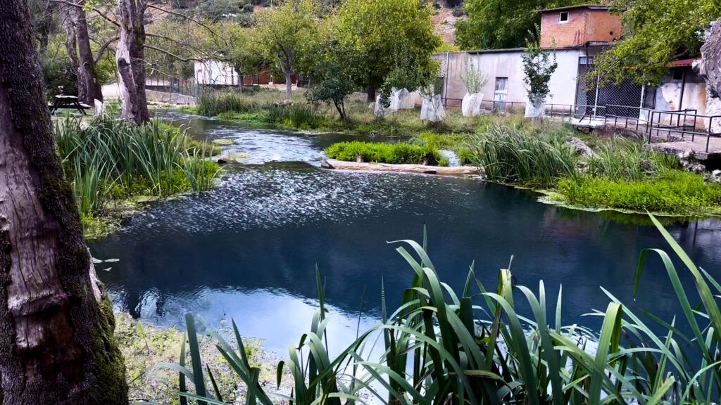
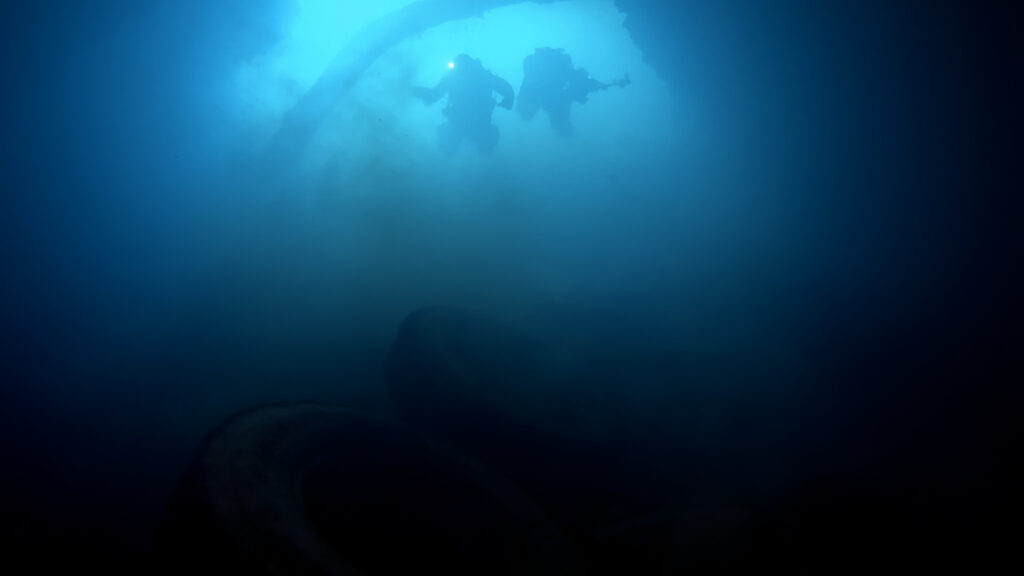
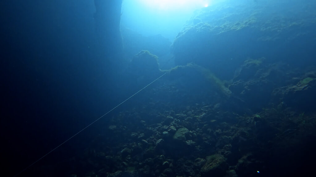
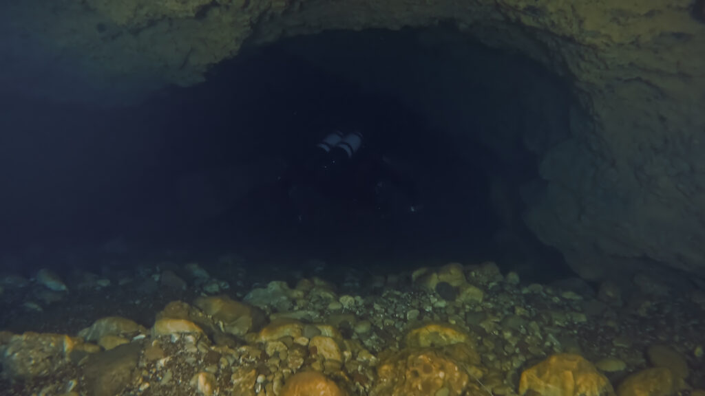
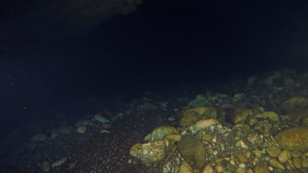
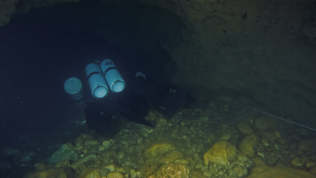
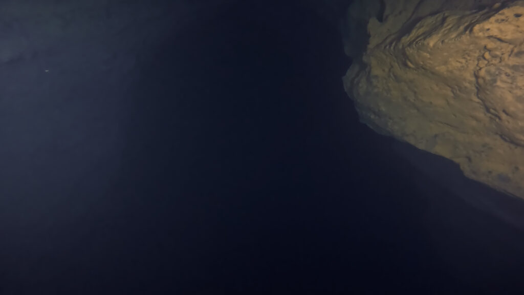
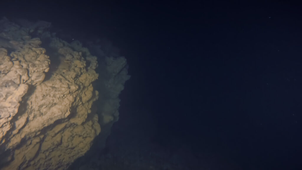
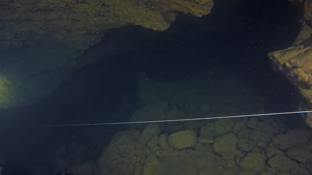
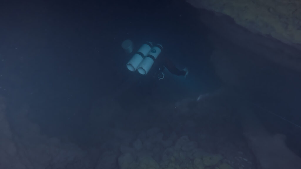
An impressive geomorphological feature of the area is the springs of Ladon located southwest of the village of Lykouria at an altitude of 469 m. presents a circular morphology. The water rises from a hole (sinkhole) at high speed and creates a small but quite deep karst lake reaching a depth of 12 meters. At the bottom of the lake is the entrance to a cave which is a large karst channel. The area around the pond is characterized by vegetation which creates an idyllic landscape. The Ladonas river originates from this spring. The river then flows through a bare meadow to the south to join the Aroanius further down among plane trees and willows. Next to the spring there is an old cheese factory.
The spring of Ladonas is a national park and geopark belonging to the UNESCO global geoparks, one of the nine UNESCO georparks in Greece. The UNESCO Global Geopark of Helmos-Vouraikos is managed by the Management Unit of the Helmos-Vouraikos National Park & Northern Peloponnese Protected Areas of the Natural Environment & Climate Change Organization (OFYPEKA). The area of responsibility of the Directorate of Helmos-Vouraikos National Park & Protected Areas of the Northern Peloponnese is based in Kalavryta, Achaia, and its territorial jurisdiction includes the Helmos-Vouraikos National Park, as well as 18 Protected Areas of the “Natura 2000” Network. The region extends to the prefectures of Achaia, Corinthia and Arcadia, Ilia and Argolis including Helmos, Erymanthos, Panachaikos, Barba and Klokos, Kyllini, Mainalos, Oligyrtos, Artemisio and Lyrkeo, which are the most important mountainous areas of the Northern Peloponnese. Gorges, Caves, Springs, Lakes, Rivers and Streams are characteristics of the natural landscape of the area and result in the formation of many different habitats, hosting an invaluable flora and fauna, as it includes a significant number of local endemics, Peloponnese endemics and Greek endemic, rare and endangered plants and animals.
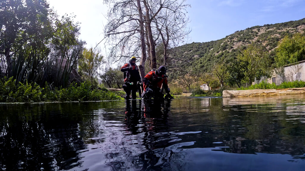
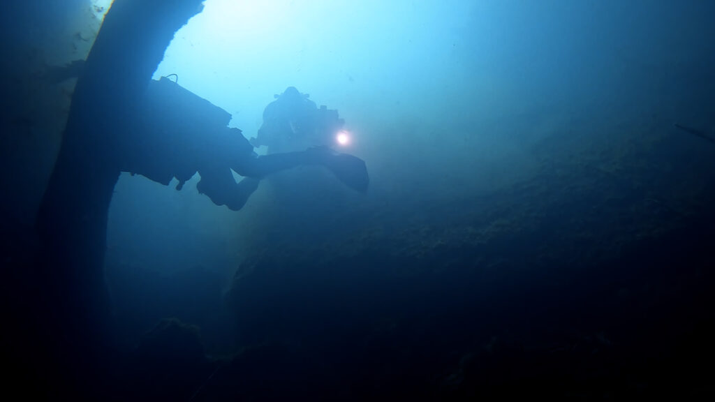
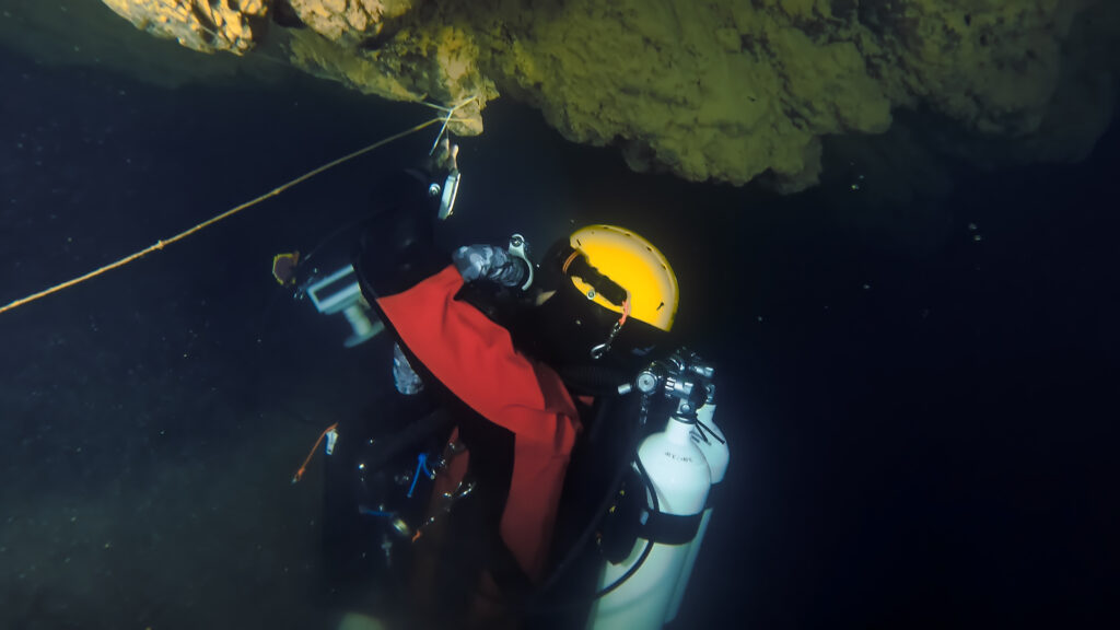
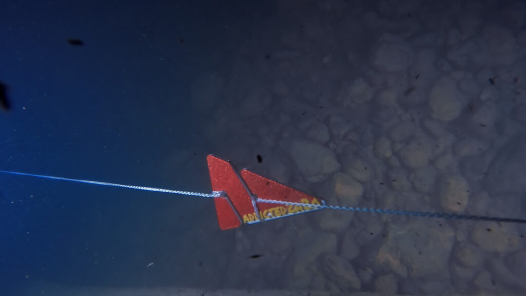
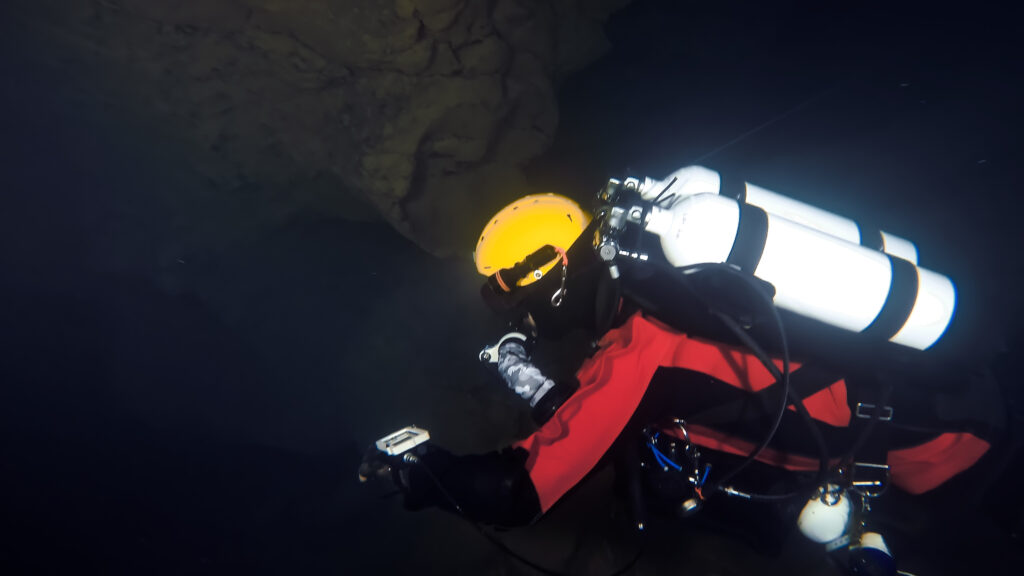
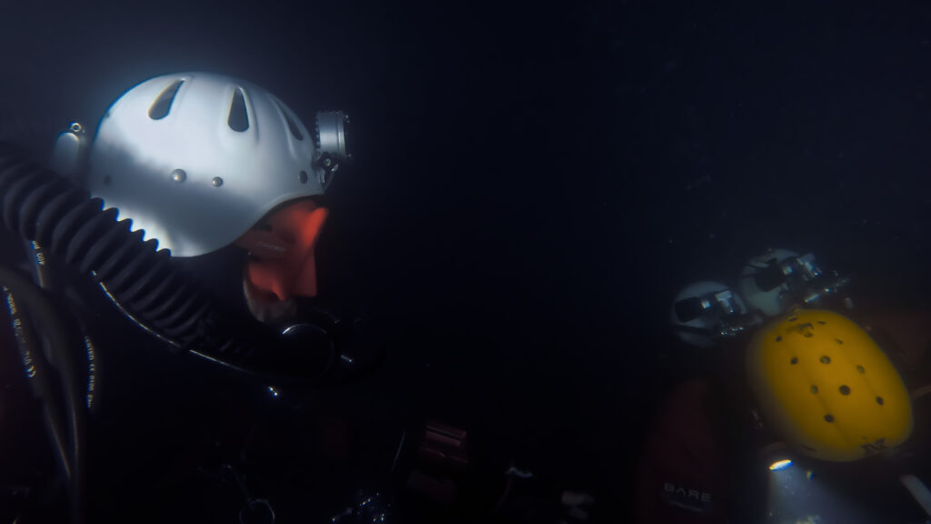
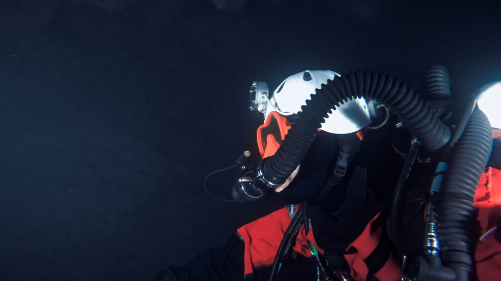
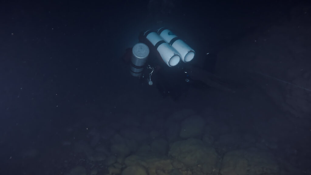
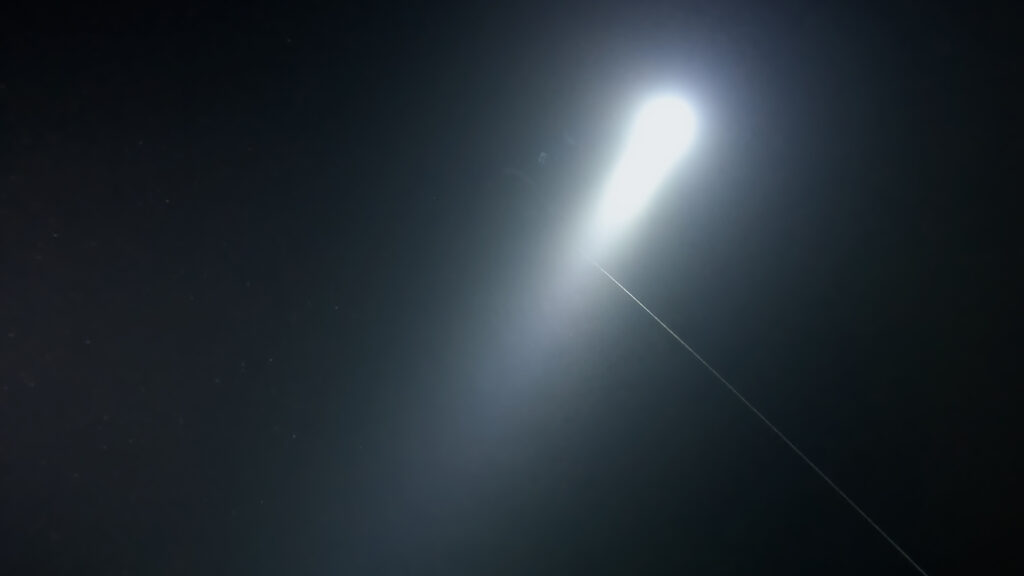
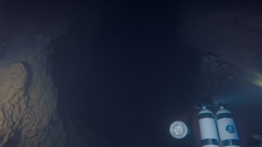
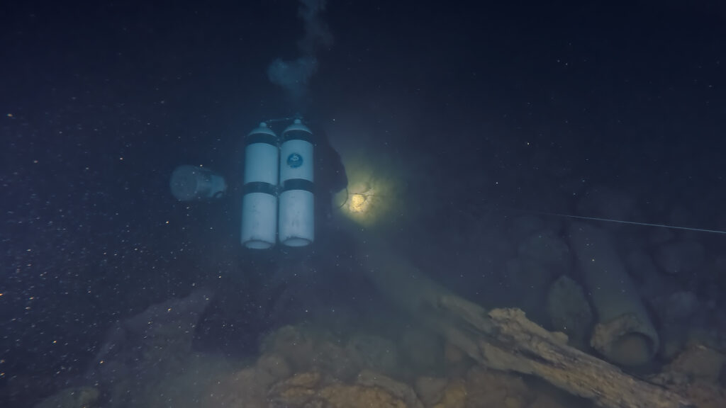
Our team planned three excursions to the spring to conduct cave dives, map the underwater passage by placing a cave line and film the underwater cave. Entrance to the spring is easy providing the current is not strong thus allowing the team to place line and push approximately 140 meters in. The water temperature is a steady 12 to 13 degrees celcius depending on the time of year. The visibility in the cave at best is average due to the strong current and the cave morphology. Our last tie off was at a depth of 47 meters.
Divers:
Erikos Kranidiotis
Stelios Stamatakis
Ioannis Simiridis
Interview:
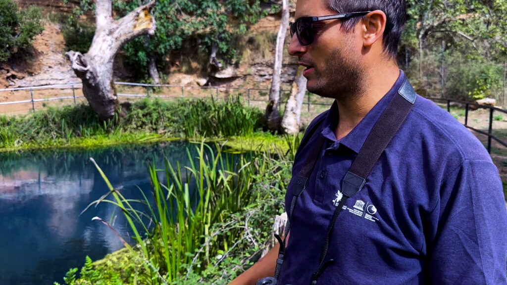
Georgios Papageorgiou
Thank you:
Georpark Chelmos-Vouraikos
ADDICTED2H2O
Do what you can’t
